


CLIVAR OSC: Day 4 Highlights—The Ocean in a Warmer World
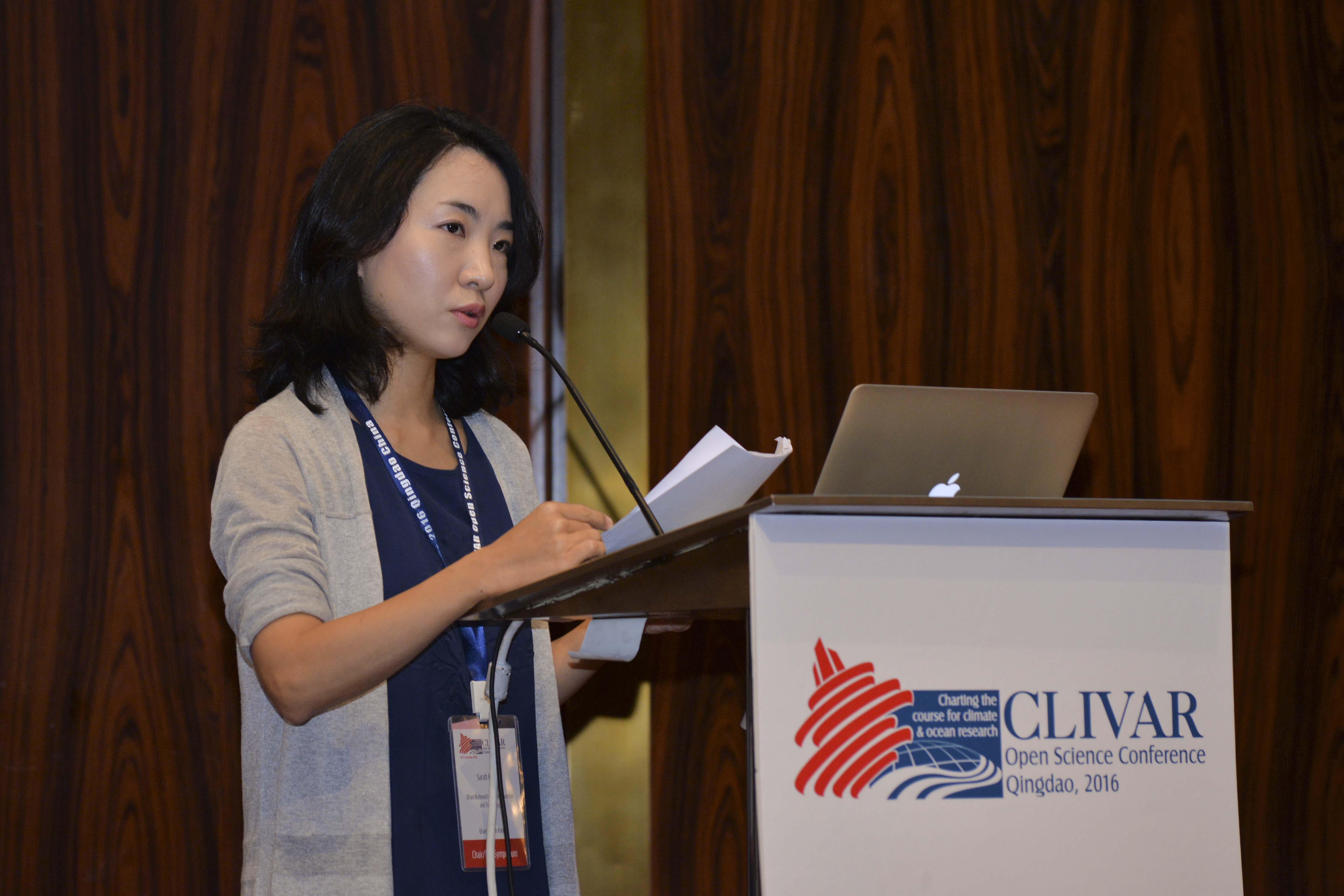
The fourth day of the conference featured talks under the theme of an ocean in a warmer world. The day was dedicated to understanding the future of Earth’s climate system—its potential changes and impacts—under the topics of climate modes, sea level, and boundary current systems.
Mike Alexander, NOAA Earth System Research Laboratory, discussed modes of sea surface temperature in a warmer world. The role of observations is important and “if you don’t know the past, then you don’t know the future,” he said. To see changes in ENSO, there needs to be long records to distinguish between natural versus anthropogenic variability. There are both atmospheric and oceanic processes that influence the Pacific Decadal Oscillation (PDO), such a reemergence, Rossby waves, and interactions with boundary currents. Change in the ocean stratification is one way that heating of the Tropical Pacific will impact ENSO. Physical processes underlying variability are essential to understand, although limited observational samples will be a problem.
Reanalyses show shifts and/or intensification in western boundary currents, but projections have large uncertainties, according to Fan Wang from the Chinese Academy of Sciences. The warming rate along the past of western boundary currents is two to three times faster than the global mean warming rate. Investigating the multi-scale variability of the western boundary currents is important to understand how they will change in the future and how the changes will effect projections.
Seung-Ki Min, Pohang University of Science and Technology, showed how the Indo-Pacific warm pool as expanded over the past 50 years, especially in the Indian Ocean, which is partly due to trends in the PDO. The observed increase in warming is attributable to anthropogenic forcing. And the intensity and area of the warm pool is projected to increase in the future with an associated intensification of rainfall patterns.
Sea level rise has accelerated from around 1.5 mm per year, before altimetry, to 3.5 mm per year, during altimetry, according to Anny Cazenave from the National Centre for Space Studies (CNES). Closing the sea level budget had proved to be challenging due to the many sources of change, but has been closed recently due to data from Argo and GRACE. Land ice contributes, now, more than half of the change. There are opportunities to link mass and energy budgets, understand and resolve the differences between models and reconstructions, and better understand the coastal and open ocean differences to better inform impacts.
“We cannot say how ENSO will change in regards to greenhouse warming,” said Wenju Cai, CSIRO, during the evening keynote talk. Extreme impact El Niños will become more frequent with increases in global mean surface temperatures, due to a shift in the South Pacific convergence zone caused by a reduction in the meridional sea surface temperature gradient in the Tropical Pacific. During an extreme event, rainfall increases by a factor of 10. And frequency of these extreme events continues to increase after global mean surface temperature stabilizes for up to century.
Below are some highlights from the parallel sessions.
Climate modes
- Research is needed on ENSO, tropical-extratropical teleconnections, Atlantic rainfall, for example, to characterize past and projected changes in variability due to climate change.
- Understanding these projected changes is a difficult task due to contrasted responses in various CMIP models, observational uncertainties, and natural variability.
- Some new proposed approaches to do this, include bringing models and paleo-data together, developing process-based analyses to understand inter-model differences, and identify the relative roles of various forcing components (e.g., greenhouse gases, aerosols, land use).
Sea level
- Global mean sea level shows substantial interannual changes, mostly related to ENSO variability. For its steric component, there is still a large spread of different estimates from in situ observations (from 1970 onwards), which are mostly related to mapping reconstruction methods.
- Accelerated sea level rise in the western Pacific during the so called “hiatus period” was linked to super typhoons and strong storms that caused coastal damages. Associated regional sea level patterns are reported and described through an east/west sea-saw index, and its regime changes can potentially cause an acceleration of global surface warming.
- Large-scale modes of variability highlight the need to understand natural variability of regional sea level change at decadal and interdecadal timescales for detection and attribution studies of anthropogenic sea level trends. The “South-West Indian Ocean mode” appears to have no ocean bridging between basins. These patterns are of particular importance as a third of the world population lives around the Indian Ocean.
- Increased understanding of natural variability of regional sea level change at decadal and interdecadal timescales is important for detection and attribution studies of anthropogenic sea level trends. Coastal interannual to decadal sea level changes, as measured by tide gauges, can be related to different dynamics of ocean internal variability, such as merdional overturning circulation, local density changes, relative role of local winds, barotropic responses, and wave dynamics.
- Patterns of ocean wave height are considerably different from regional sea level rise, but are related to wind stress. Moreover, extreme wave height is projected to decrease, except for the Southern Ocean.
Boundary current systems
- The trade winds along Peru’s coast favor upwelling and can sustain a high level of productivity, which eventually results in a decrease of local atmospheric CO2.
- Meridional undercurrent shows intraseasonal and semi-annual variability. Semi-annual variability occurs near the western boundaries and affects sub-thermohaline recirculation.
- Model experiments show a better reproduction of baroclinic Rossby waves in Community Earth System Model (CESM) than the Ocean General Circulation Model for the Earth Simulator (OFES). Also the Ocean Forecast Australia Model 3 shows a 32% decrease in Sverdrup transport through the Indonesian through flow in RCP 8.5 scenario.
Remember to follow #CLIVAR2016 for live updates from the conference.


Add new comment