


2017 Sea Level Conference Highlights - Day 2
DAY 2 - CONFERENCE HIGHLIGHTS
Understanding today’s sea level: trends, amplitude, and new approaches
Benoit Messignac highlightsThe second day of the conference was dedicated to presentations on contemporary sea level change, ranging from the role of ocean heat content to satellite missions to drivers in variability of extreme sea levels. The two plenary sessions were accompanied by a morning and afternoon poster session and a town hall on the operational monitoring of sea level using satellites.
Below are highlights from the day’s presentations.
- Trends in local sea level are responsible for most of the trends in extreme sea level event amplitudes over 1960-2015. (Marta Marcos, University of the Balearic Islands)
- Extreme events amplitude show temporal variability at interannual and multidecadal timescales driven mostly by regional sea level related to large-scale climate modes such as the North Atlantic Oscillation.
- Phases of ENSO have very distinct differences in the magnitude of wave fields generated by extra-tropical events, and these differences influence water levels at the coast. Storm tracks change and can modify the wave directionality, creating teleconnections in the basins through swell. (Justin Stopa, Laboratoire d'Océanographie Physique et Spatiale)
- A multi-model approach has been found to be more appropriate than dynamic or statistical modeling for prediction sea level variability. Research has also found sea level predictions from multiple models are skillful out to at least six months in the tropical Pacific. (Matthew Widlansky,University of Hawaii Sea Level Center)
- Integrated ocean measures like sea level and heat content--made possible by modern observing systems (e.g., altimetry, Argo)--are ideal metrics for tracking Earth’s energy imbalance. However, improvements to the observing system are needed, such as extending Argo’s reach into high latitudes, the deep ocean, and marginal seas. (Karina von Schuckmann, Mercator Ocean)
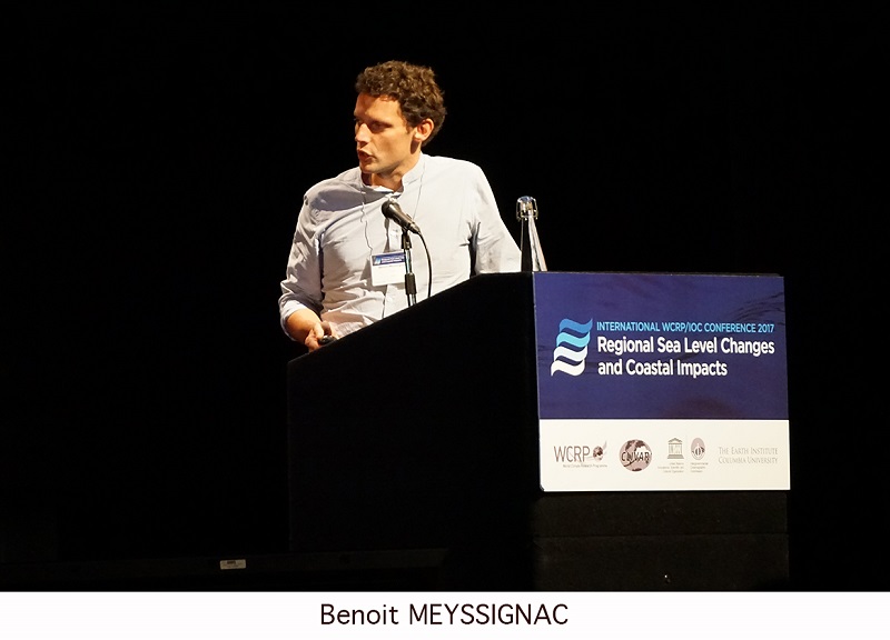
- Good agreement has been achieved between recent observation- and model-based estimates of global and regional sea level rise over the 20th century. (Benoit Meyssignac, LEGOS)
- The ocean’s dynamic response to forcing by winds and natural variability is a key driver of interannual-to-multidecadal variability in sea level over the western North Pacific and coastal Japan. (Yoshi Sasaki, Hokkaido University)
- The use of high-resolution coupled climate models is essential for accurately simulating coherent sea level variations along the US East Coast. (Diane Palko, University of Miami)
- Western boundary sea level is influenced by the open ocean, but this influence is critically mediated by topography and friction. Boundary trapped waves are capable of transmitting information rapidly and efficiently around ocean basins. (Chris W. Hughes, University of Liverpool/National Oceanography Centre)
A town hall, Operational monitoring of global and regional sea level by satellite altimetry, featured speakers from US and international agencies that manage and operate satellites, including the National Oceanic and Atmospheric Administration (NOAA), National Aeronautic and Space Administration Jet Propulsion Laboratory (NASA/JPL), European Space Agency (ESA), European Organisation for the Exploitation of Meteorological Satellites (EUMETSAT), and the Centre Nationale d'Études Spatiales (CNES). Participants heard updates on current and next generation missions, data products and processing, partnerships, and calibration/validation challenges.
Follow along at #SeaLevel2017 and stay tuned for more conference daily highlights.


Add new comment